|
|
vol 5 num 2

from VizMAP – letting you see where you stand…
Volume 5 Number 2
|
About VizMAP
VizMAP Pty Ltd, is a leading supplier of terrain Visualisation and related services to the defence, GIS, environmental, mapping, mining and exploration industries, engineering and construction firms, developers and planners, as well as government administration departments dealing with land, transportation and the environment.
VizMAP’s products are designed to be run on reasonably to highly configured graphics computers (PC, Linux and Unix) for public display, group training, mission rehearsal, environmental monitoring, etc. and to enhance management decision making.
VizMAP is headquartered on Queensland’s Sunshine Coast (Australia) with affiliation in Asia, Europe, Africa and the USA and thereby provides support and services to customers worldwide.
If you need to visualise anything geographic, e-mail VizMAP here with the details.
For more information about VizMAP visit the VizMAP Web site at http://www.vizmap.com.au.
|
VirtualGeography
Subscription
Details
To subscribe to VirtualGeography,
click here.
To unsubscribe from VirtualGeography,
click here.
|
A Moment’s Notice
"I think… I think it’s in my basement… Let me go upstairs and check." — Escher

|
|
VirtualGeography – the newsletter
|
| G’Day… and Welcome to VirtualGeography |
from here |
| Welcome to another free VirtualGeography from VizMAP Pty Ltd.
I’m going to be speaking at an event held at the Sunshine Coast University (Queensland, Australia) next week that I thought you should know about… The seminar is entitled, "Evaluating and Visualising Alternative Land Use Scenarios & Realtime ‘What Ifs’ applied to Development and the Environment". There will be a range of speakers including a team from the University of Wyoming who will present a series of case studies from the US.
If you are in the vicinity next week, you should attend. If you want more information, or want details on how to get there, you can download the 1Mb PDF of this upcoming event here.
If you didn’t already know, VirtualGeography is a collection of interesting snippets from all over the shop, dealing with industry issues concerning the computer based visualisation of geography and a few other associated (or otherwise) interesting bits and pieces. You are receiving this either because you subscribed to VirtualGeography or you have had recent dealings with VizMAP Pty Ltd. If you do not wish to receive further instalments of VirtualGeography, just click on the unsubscribe link at the bottom of this e-mail.
A new VirtualGeography is pushed out every now and then when we’ve collated enough interesting bits and pieces, which shouldn’t be too big a drain on your mailbox if you’re not already subscribed (of course it won’t be a drain on your mailbox if you ARE subscribed, either ). The regularity of the distribution may vary depending on what else is going on at VizMAP at the time. If you know of anyone who might like to get VirtualGeography, feel free to forward this to them and ask them to subscribe. By the way, subscription and unsubscription details are at the bottom (click here).
So, g’day to all you enthusiasts requiring to visualise and simulate both urban and rural geographic information (GIS), cartography, photogrammetry, remote sensing, digital elevation modelling (DEM) and general mapping.
By the spelling of "Visualisation" you may have already guessed that we’re not US based – that’s a good thing, or at least not a bad thing. This comes to you from Mooloolaba on the Sunshine Coast of Queensland, Australia, where it’s beautiful one day and perfect the next. As a postscript to that, you can have a look at the Mooloolaba beach, now, 800m from where I sit as I write this, here.
|
The link between visualisation and mapping may seem a little esoteric if this is your first encounter with this sort of stuff, but let me tell you, the bond is significant… but enough of that: on with the show… I hope you like it. Any feedback you might have is highly appreciated. E-mail me here to make your comments.
Enjoy…
Graeme Brooke
VizMAP Pty Ltd
|
 |
P.S. You’ll need an active internet connection to view any images that are in the content. We’ve done it this way to keep the size of the e-mail to a minimum.
|
| |
Back to Top |
| The Industry’s Two Cents Worth… |
| VIRTUAL REALITY: A New World for Geographic Exploration (ed. – 1996 paper that is a useful reflection on the industry…) |
from Gail S. Ludwig
University of Missouri-Columbia |
| New worlds, or new areas in cyberspace, are being discovered and being applied to education at breakneck speed. The Internet, 3D graphics, QuickTime Movies, Quicktime VR and a multitude of new concepts and ideas are now being promoted on the internet and in leading educational journals throughout the world. It is a major undertaking just to keep abreast of this technological revolution, but the ideas and methods evolving are impacting education in ways no one could foresee just a year or two ago.
As a geographer, I have struggled for years trying to teach students to visualize what an environment is like using only flat maps and photographs. A flat map is a wonderful tool for looking at spatial patterns, distributions and relationships, but it does little to convey how the physical landscape and the mapped phenomena relate to each other.Two dimensional images such as maps and photographs can convey what an area looks like, but nothing is as good as actually being there. Not being there is the problem. How can an entire class be transported to remote locations throughout the world without sending an entire school district or university department into bankruptcy? How can the relationship between topographic relief, land use and people be visualized and studied in a manner that is understandable? The answer, potentially, is Virtual Reality (VR), a low cost, second-best way to experience an environment without actually traveling to the site.
Virtual Reality is an emerging technology that produces an "environment that is indistinguishable from reality" in which the user can experience a place or an environment without actually traveling there. VR provides direct sensory input affecting most senses: sound, sight and touch. It was born in the mid-1960’s and its development is advancing at breakneck speed today. (Lee, 1992; Schroeder, 1995)
The term "Virtual Reality" is broadly used and widely interpreted. (Isdale 1993) On the internet, VR is generally interpreted as artificial spaces that can be navigated in three dimensions and "feels" real. You don’t need special glasses, but rather special computer applications which allow the online data to be viewed in 3D. To those with access to high-end interactive graphics systems which include head mounted displays for visual simulation, headphones for stereo sound and data gloves that sense movement in the hands, VR is a computer interface that allows users to move through computer-generated images in three dimensions. An architect could "tour" a building he/she just created. An archaeologist could walk through a village that existed thousands of years ago. A geography student could visit the Gobi Desert, the Himalaya Mountains or perhaps the gulf coastal plains of Louisiana and "experience" the differences among environments.
VR cannot replace a field experience. It cannot infuse a student into an environment that has all the sights, smells and feeling the real location has – although technology is advancing at such a rate that soon even this may be possible! What VR can do is create an experience that helps students better understand a place, a people, a process.
At the University of Missouri, I teach a basic map interpretation course for undergraduates which covers basic map concepts such as vertical exaggeration, profiling, contour line interpretation, etc. Like thousands of other educators, I have devised ways to graphically and two dimensionally explain these concepts. It works, but it is static and doesn’t show the concept in three dimensional space.
This past semester I became interested in Virtual Reality and began developing a series of modules that could be used to assist in teaching topographic mapping and vertical exaggeration concepts in a three dimensional environment.
Being frugal, I purchased a low cost software package called VistaPro to create some preliminary models to use in class. Vista Pro is a three dimensional landscape generation program that uses Digital Elevation Model (DEM) files. It is available in both PC and Macintosh format and has a street cost of about $65. Armed with this software, DEM data and a high end computer, I began to develop fly-through modules of various areas in the United States. As I progressed, I enlisted the aid of several computer graphics specialists at the university. With their assistance, we created the following series of fly-through modules which illustrate a variety of ways VR can be implemented into the classroom…
|
| Read that full story here |
Back to Top |
| Hardcore Stuff (hardware bits)… |
| Sun Microsystems Completes Design Tape-Out for Next-Generation, Breakthrough UltraSPARC T2 CoolThreads Processor |
from Sun Microsystems |
| Sun Set to Deliver World’s First 64-Threaded Systems On Time in 2007
SANTA CLARA, Calif. April 12, 2006 Sun Microsystems Inc. (Nasdaq: SUNW – News) today announced that the tape-out completion of the next generation, breakthrough UltraSPARC T2 processor with CoolThreads technology occurred last month, shortly after the introduction of the first-generation UltraSPARC T1 processor and the Sun Fire T2000 systems. Demonstrating Sun’s commitment to anticipating customer needs and to delivering chip multi-threading (CMT) technology ahead of the competition, the next-generation UltraSPARC T2 processor is on-track to be delivered on-time in new systems from Sun in the second half of 2007.
With the world’s first 64 threaded processor, Sun’s UltraSPARC T2 processor is set to deliver twice the performance of current UltraSPARC T1 processor-based systems within the same power envelope, demonstrating continued innovation and leadership for Sun in CMT. Architectural and performance enhancements in the next-generation UltraSPARC T2 processor architecture will enable Sun to broaden the addressable market for chip multi-threaded systems, continuing to set the industry standard for throughput performance and low power consumption for the next phase of the Internet build out.
"UltraSPARC T1 processor-based Sun Fire T2000 systems are setting a new industry-standard for performance and power consumption in the datacenter and the industry is following Sun’s lead in CMT," said David Yen, executive vice-president, Scalable Systems Group, Sun Microsystems, Inc. "The tape-out of the next generation UltraSPARC T2 processor design reinforces Sun’s multi-year lead over the competition and, more importantly, gives customers a great roadmap of unmatched system throughput with millions of dollars of bottom line power, cooling and space cost savings ."
|
| Read that full story here |
Back to Top |
| Softcore Stuff (software & data bits)… |
| Future of Landsat A Hot Topic at Upcoming ASPRS Conference |
from DirectionsMag |
| “The Future of Landsat” will be covered extensively in several venues at the ASPRS 2006 Annual Conference, being held in Reno, Nevada. The first will be a “Hot Topic” Session on Wednesday, May 3 from 11:00 am to 1:15 pm with a presentation on the work of the Future of Land Imaging (FLI) Interagency Working Group (FLI-IWG). The Working Group has been charged by the White House Office of Science and Technology Policy (OSTP) to derive a plan for long-term operational land imaging beyond the short-term Landsat Data Continuity Mission (LDCM).
At the end of a short presentation by the Working Group the "Hot Topics" discussion will be opened up for feedback, and attendees are highly encouraged to offer their views. This session, hosted jointly by the ASPRS External Affairs Committee and the Remote Sensing Applications Division (RSAD) is open to all interested Conference attendees.
On Thursday, May 4 the plenary session from 8:00 to 9:00 am will include presentations by senior government agency officials on “New Direction for the LDCM.” This presentation will address the short-term effort to launch a free-flyer satellite to fill the gap left by recent events affecting Landsats 5 and 7.
Finally, there will be a meeting of RSAD on Thursday, May 4 from 11:00 am to noon where there will be wrap up discussions of what ASPRS, as an organization, plans to do or may be called upon to provide over the course of the response period for both LDCM and the work of the FLI-IWG.
“The inclusion of this topic at the ASPRS Annual Conference in Reno is particularly important at this juncture. The FLI-IWG is looking forward to this opportunity to inform the ASPRS 2006 Annual Conference attendees about our activities, and to hear their views on land imaging for the U.S.,” said Ray Byrnes, Liaison for Satellite Missions with the USGS Land Remote Sensing Program. “ASPRS is committed to maintaining a strong presence on this issue that is absolutely critical to so many of our members and others in the community who use Landsat imagery on a daily basis,” said ASPRS President Karen Schuckman. ASPRS has repeatedly made its position on Landsat data continuity known to OSTP over the past several years.
|
| Read that full story here |
Back to Top |
| CHOGM |
from VizMAP |
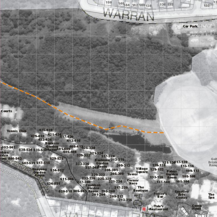
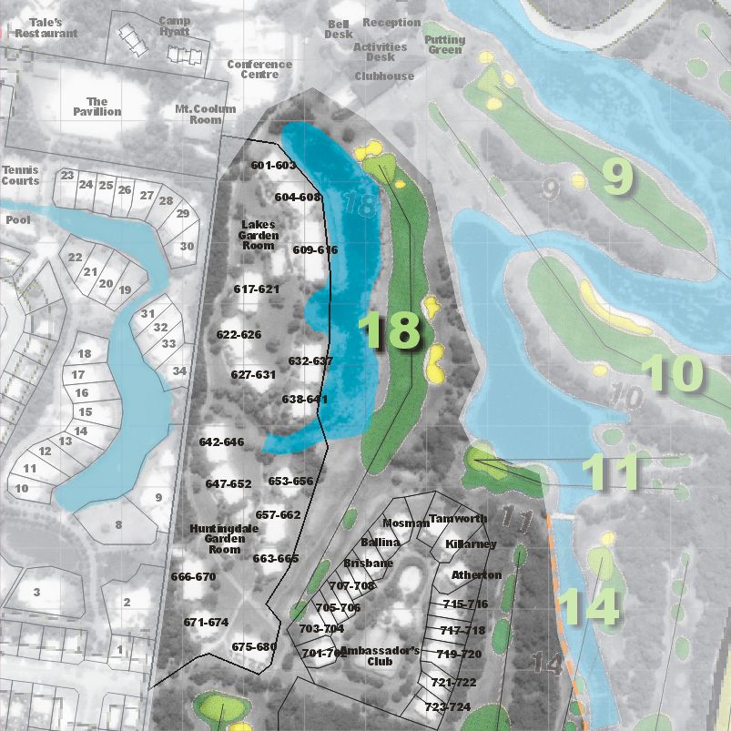
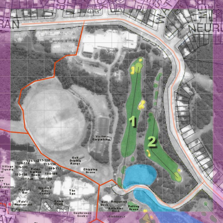
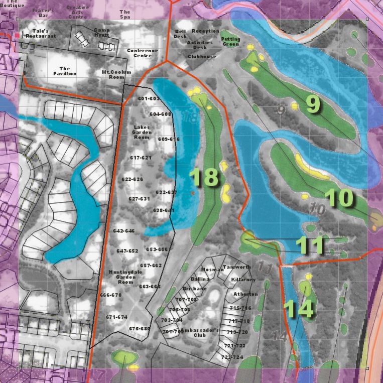
I am finally allowed to tell you about our 2002 gig (not really "recent" but noteworthy nevertheless) where VizMAP produced the suite of digital mapping used for security at the Commonwealth Heads of Government Meeting (CHOGM) in Coolum, Queensland, Australia. This was produced for a Federal Government body who should still remain nameless. Certain details have been left of the maps shown here for ongoing security purposes.
Click on these small resampled images to view the full screen images on the VizMAP website.
If you would like more information on this project, or need your own similar project performed, let VizMAP know
|
| If you have a need to dynamically visualise your geographic data, let VizMAP know your requirements… |
Back to Top |
| Smell-o-vision comes to the big screen |
from the Age |
| Japanese cinema audiences will soon be able to enjoy a completely different sensory experience.
A new service from a major telecommunications company, NTT Communications Corp, will synchronise seven different smells to parts of the movie The New World, starring Colin Farrell.
A floral scent accompanies a love scene, while a mix of peppermint and rosemary is emitted during a tear-jerking scene.
Joy is a citrus mix of orange and grapefruit, while anger is enhanced by a herb-like concoction with a hint of eucalyptus and tea tree.
The smells waft from special machines under the seats in the back rows of two movie theatres, which create different fragrances by controlling the mix of oils stored in the machines, company spokeswoman Akiko Suzaki said on Wednesday.
In The New World, which opened in the United States in December, Farrell plays American colonial leader John Smith, who is said to have been saved from execution by North American Indian princess Pocahontas.
Cinemas will be able to download from the internet different scent sequences for other films, Suzaki said.
|
| Read that full story here |
Back to Top |
| Whazzup Next – with 20/20 Foresight… |
| Check these sites for events to look out for in the Vis/Sim, GIS, LIS, Remote Sensing & Photogrammetry calendars… |
|
| |
Back to Top |
| A Parting Gesture… |
| International Rugby Board |
From Grime |
| Following complaints made to the IRB about the All Blacks being allowed to motivate themselves by performing the ‘Haka’ before their games, other nations were asked to suggest pre-match rituals of their own.
The IRB Rugby World Cup 2006 Organising Committee has now agreed to the following pre-match displays:
1. The England team will chat about the weather, wave hankies in the air and attach bells to their ankles before moaning about how they invented the game and gave it to the world, and how it’s not fair that everyone still thinks New Zealand are the best team in the world.
2. The Scotland team will chant "You lookin’ at me Jimmy?" before smashing an Iron Bru bottle over their opponents’ heads.
3. The Ireland team will split into two, with the Southern half performing a Riverdance, while the Northerners march the Traditional route from their dressing room to the pitch, via their opponents dressing room.
4. Argentina will unexpectedly invade a small part of opposition territory, claim it as their own "Las In-Goals-Areas" and then be forcibly removed by the match stewards.
5. Two members of the South African team will claim to be more important than the other 13 whom they will imprison between the posts whilst they claim the rest of the pitch for themselves. One member of the SA team will have moved to NZ/Oz/US/Can/UK (you choose), while a second one will be checking his door locks and "gat". The rest of the team will have torn the wiggly tin from the roof stadium and built a hut with it. A few, just a few will be eyeing up the tourists with a view to wealth redistribution.
6. The Americans will not attend until almost full time. In future years they will amend the records to show that they were in fact the most important team in the tournament and Hollywood will make a film called ‘Saving No.8 Lyle’.
7. Five of the Canadian team will sing La Marseillaise and hold the rest of the team to ransom.
8. The Italian team will arrive in Armani gear, sexually harass the female stewards and then run away.
9. The Spanish will sneak into the other half of the pitch, mow it and then claim that it was all in line with European "grass quotas". They will then curl up under the posts and have a kip until half time, when their appeal for compensation against the UK Government will be heard.
10. The Japanese will attempt to strengthen their team by offering good salaries to the key opposition players and then run around the pitch at high speed in a highly efficient manner before buying the ground (with a subsidy from the UK Government).
11. The French will declare they have new scientific evidence that the opposition are in fact all mad. They will then park lorries across the halfway line, let sheep loose in the opposition half (much to the delight of the Welsh) and burn the officials.
12. The Australians will have a barbie before negotiating lucrative singing and TV contracts in the UK. They will then invite all their mates to come and live with them in Shepherds Bush.
13. Unfortunately the Committee were unable to accept the Welsh suggestion following representations from the RSPCA.
|
|
Back to Top |
|
Feel free to forward this to whomsoever you wish.
To e-mail the VirtualGeography Editor, click here.
To subscribe to VirtualGeography, click here.
To unsubscribe from VirtualGeography, click here. |
| |
…that’s all, folks! (for now).
|
|
VizMAP
- Bureau & Services Portfolio
- Contact Us
- News
- Gladstone Port Access Road nearly complete after VizMAP visualisation convinces Council
- TerraTools Exporter for Virtual Battlespace 2 (VBS2) Now Available – 23/3/9
- Updated interactive “Flash Map” of Advanced Mining Projects in Queensland by VizMAP to be distributed to delegates of Mining 2006
- VizMAP & E2E deliver workshop at Queensland Spatial Conference, Brisbane, Queensland – 17/7/8
- VizMAP creates “virtual trek” to the Everest Base Camp
- VizMAP creates virtual coal mine for central Kalimantan
- VizMAP develops interactive “Flash Map” of Advanced Mining Projects in Queensland
- VizMAP imagery of Virtual Surat Energy Province awarded image of the month by Image Society Inc.
- VizMAP Launched
- VizMAP launches FlyLG: computer based geospatial Visualisation tailored to Australian local government areas
- VizMAP presents at Australia Pacific Spatial Innovation Conference 08, Canberra, ACT – 19/11/8
- VizMAP presents at GITA 07, Brisbane, Queensland – 8/8/7
- VizMAP presents at GITA Seminar, Darwin, Northern Territory – October, 2006
- VizMAP presents at Queensland Spatial Conference 2008, Brisbane, Queensland – 18/7/8
- VizMAP presents at Surveying and Spatial Sciences Institute (SSSI) Meeting, Hervey Bay
- VizMAP Presents TerraTours® Visualization at World Energy Congress
- VizMAP presents to Darling Downs Interest Group in GIS and Remote Sensing (DIGGARS) Seminar, USQ, Toowoomba, Queensland – 8/11/7
- VizMAP presents to International Map Trade Association (IMTA), Surfer’s Paradise, Queensland – 2/11/7
- VizMAP presents to Queensland Spatial Industry Council (QSIC), Brisbane, Queensland – 22/11/7
- VizMAP writes for Position Magazine – “The 3D Industry” – April-May 2007, No 28
- VizMAP’s Virtual Surat Energy Province
- VirtualGeography Index
- VizMAP
|